Drone services
Elevating industries through actionable aerial insights
By combining software, sensors, and autonomous technologies, we process data to enhance the efficiency and reliability of your business.




AREAS
Welcome to Cupertino. We are experts in geospatial technology. With our drones, we capture and analyze aerial data to help our clients make informed decisions, monitor operations, and maintain total control over their assets throughout Argentina.
Precise data and detailed analysis are combined to enhance operations and decision-making. Our drones conduct thorough inspections, ensuring the safety of personnel and environmental quality.
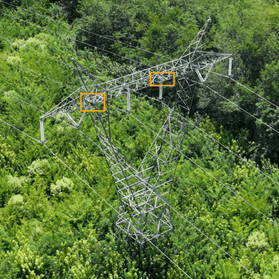
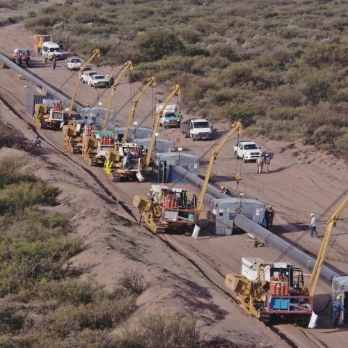
Detailed inspections of energy infrastructure. Informed decisions supported by precise data. Our drones provide customized solutions to optimize the energy industry.
We prioritize territorial accuracy. We offer efficient inspections and precise detection of terrain changes. Our mapping and inspection services ensure accurate data and meticulous environmental monitoring.
Optimize perimeter security and emergency response with our drone services. Continuous monitoring ensures the protection of your facilities and swift response to any emergency situation.
Enhance your construction project with our drone services. We conduct construction site tracking, topographic mapping, and more, providing a detailed and accurate perspective to optimize each phase of your project.
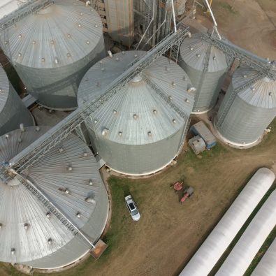
Empower your agriculture with our drone services. From crop monitoring to land mapping, we provide precise data solutions to optimize yield and performance.
SERVICES
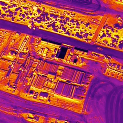
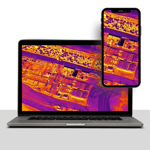
Get a detailed, real-time view of your assets and facilities with our inspection and monitoring service. We detect and evaluate potential issues, from infrastructure defects to operational irregularities, ensuring the efficiency and safety of your operations.
Keep your environment protected and secure with our surveillance and security solution. With our drone technology, we provide continuous surveillance and rapid response to any threat, effectively protecting your facilities, assets, and personnel.
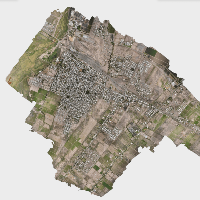
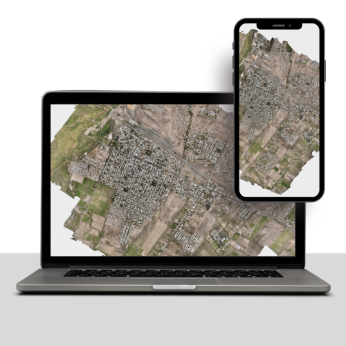
Get detailed and accurate information about your environment with our mapping and cartography service. We create three-dimensional maps, orthomosaics, and precise models that assist in planning, management, and decision-making, optimizing your processes and resources.
Capture high-quality images and videos that showcase your brand and projects. Our drones provide unique aerial perspectives for creating visually stunning presentations tailored to your industry.
Optimize your internal operations with our in-company management service. We not only provide tailored drone solutions but also work collaboratively with your internal team. From setting up the drone equipment to training your employees in flight operations and specific industrial applications, we ensure they are fully equipped to effectively integrate this technology into your workflow.
REGIONAL SERVICES
We partner with strategic allies across LATAM to deliver our services. Collaborating with service and software providers, we maintain our quality standards throughout the region. Contact us for more information.
DATA DELIVERABLES
RECENT CASES
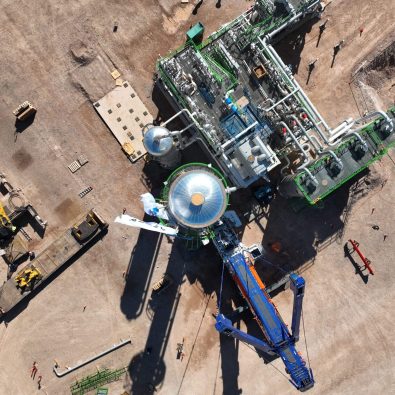
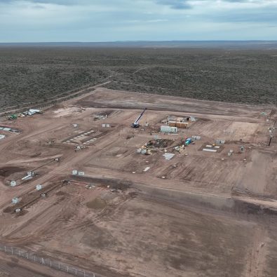
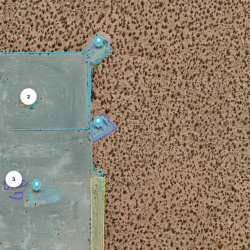
Recurring survey of oil sites in the Vaca Muerta field for exploration and exploitation purposes. Determination of environmental liabilities and analyzed deliverables.
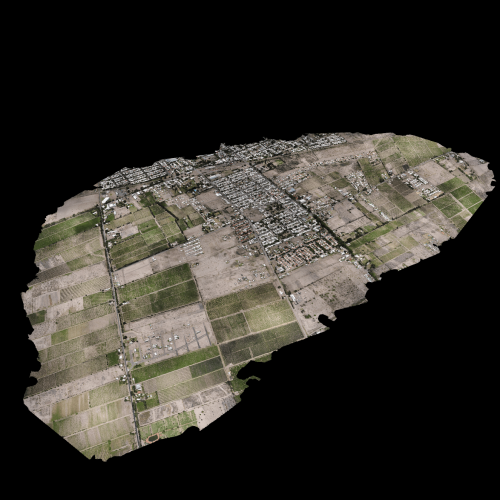
Comprehensive cadastral survey of the main cities of Mendoza, in close collaboration with ANAC - EANA, as part of the largest drone project conducted to date in 2024.

